


🏘️
Socioeconomic Profile
Census 202122.2%
Unemployment
👥 Population
28
Median Age
-23.4%
Growth (2016–2021)
💼 Labour
43.8%
Employment Rate
22.2%
Unemployment Rate
Source: Statistics Canada, Census of Population, 2021

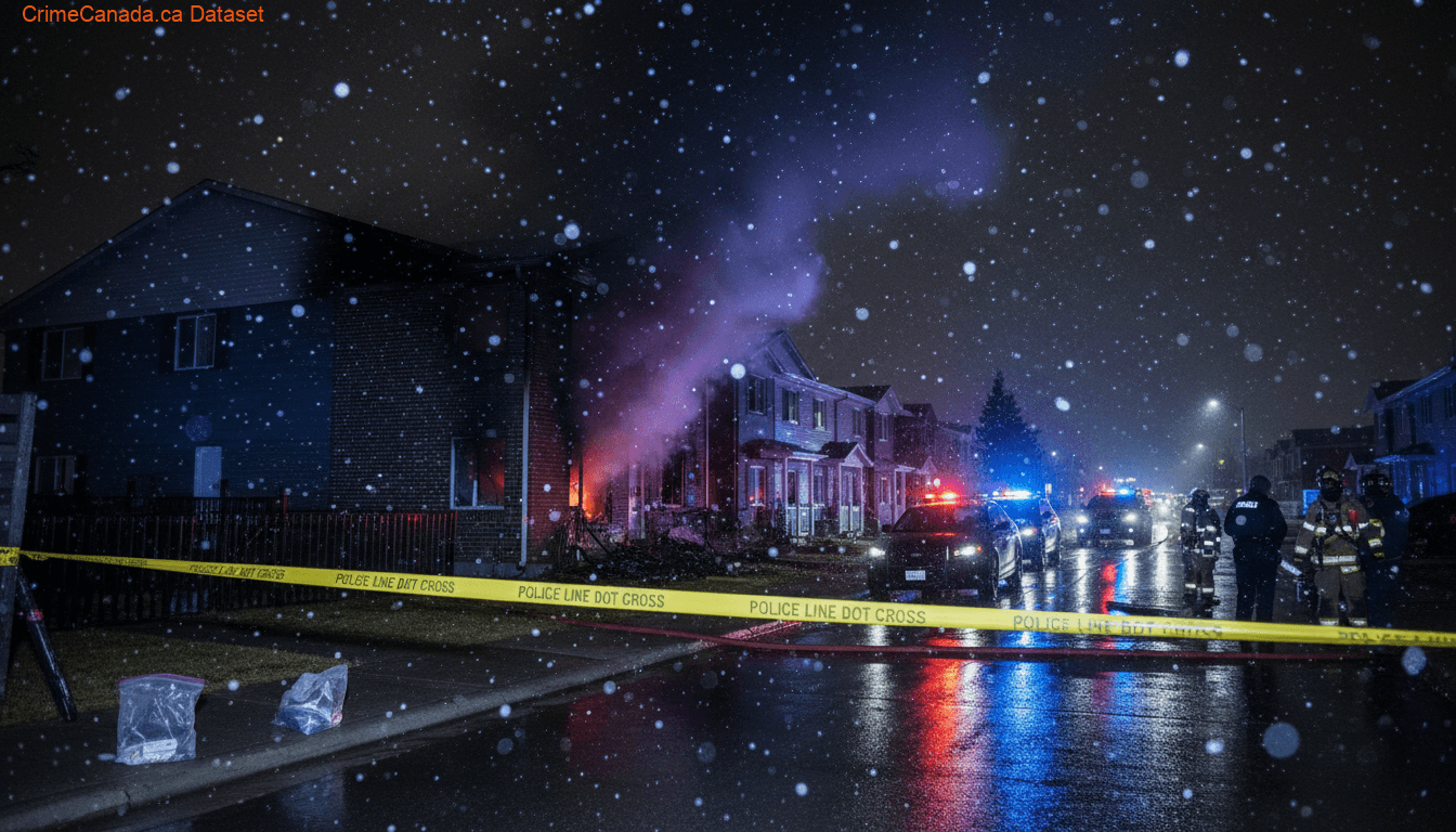
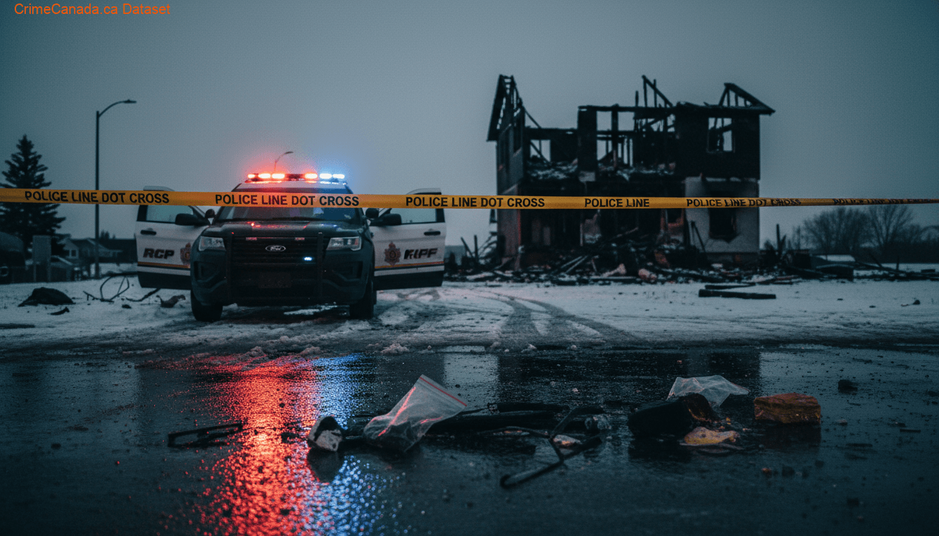
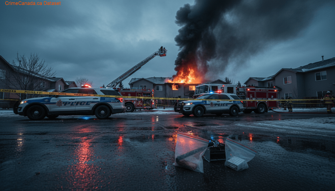
Crime data for Duncan's 151A, Alberta.
Below Average
Duncan's 151A is an Indian reserve of the Duncan's First Nation in Alberta, located within the Municipal District of Peace No. 135. It is 39 kilometers southwest of Peace River. In the 2016 Canadian Census, it recorded a population of 150 living in 52 of its 56 total private dwellings.
National Baseline = 100
Annual historical averages
15 locations
Crime data sourced from the Uniform Crime Reporting (UCR) Survey via Statistics Canada. Last updated for the most recent available reference year.
Safety Score and CSI data are not available for this police service jurisdiction. Please refer to the crime breakdown below.
Hate crime data shown for Alberta (provincial level)
Police-reported hate crime incidents in Alberta
Hate Crime Trend (2014–2024)
Click on chart to view sub-categories for that year
By Motivation
In 2024, Alberta recorded 398 police-reported hate crimes, an increase of 7.6% from 2023. The most common motivation was Race or ethnicity (181 incidents, 45% of total), with Black being the most targeted group (66 incidents). Religion-motivated crimes totalled 74 (19%), led by Jewish (51).
Source: Statistics Canada, Table 35-10-0066-01 — Police-reported hate crime
Homicide data shown for Canada (national level)
Homicide victims in Canada
(1.91 per 100k)Homicide Trend (1961–2024)
Click on chart to view methods breakdown for that year
By Method
In 2024, Canada recorded 788 homicide victims, a decrease of 1.0% from 2023. The most common method was Shooting (286 victims, 36.3% of total), followed by Stabbing (250 victims, 31.7%). The homicide rate was 1.91 per 100,000 population.
Source: Statistics Canada, Homicide Survey — Tables 35-10-0068-01, 35-10-0069-01, 35-10-0071-01
22.2%
Unemployment
28
Median Age
-23.4%
Growth (2016–2021)
43.8%
Employment Rate
22.2%
Unemployment Rate
Source: Statistics Canada, Census of Population, 2021