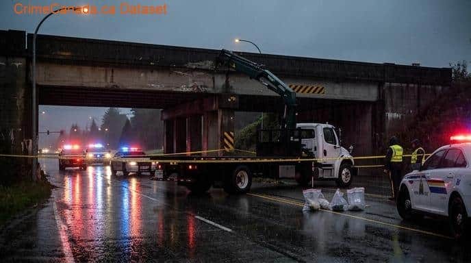
Langley 2
Crime data for Langley 2, British Columbia.
Langley 2 Safety Score
Below Average
Police Reported Crime Data
Safety Scores & Indices

About Langley 2
The City of Langley, commonly referred to as Langley City, or just Langley, is a municipality in the Metro Vancouver Regional District in British Columbia, Canada. It lies directly east of Surrey, adjacent to the Cloverdale area, and is surrounded elsewhere by the Township of Langley, bordered by its neighbourhoods of Willowbrook to the north, Murrayville to the east, and Brookswood and Fern Ridge to the south.
Livability Score
A
89/100 Score
Cost of Living Index
120Very High
National Baseline = 100
Climate & Weather
Annual historical averages
July High
25.4°C
Jan Low
2°C
Annual Rain
1416 mm
Annual Snow
10 cm
Loading Map...
Nearby Areas
15 locations
References & Sources
Crime data sourced from the Uniform Crime Reporting (UCR) Survey via Statistics Canada. Last updated for the most recent available reference year.