Sechelt (Part)
Crime data for Sechelt (Part), British Columbia.
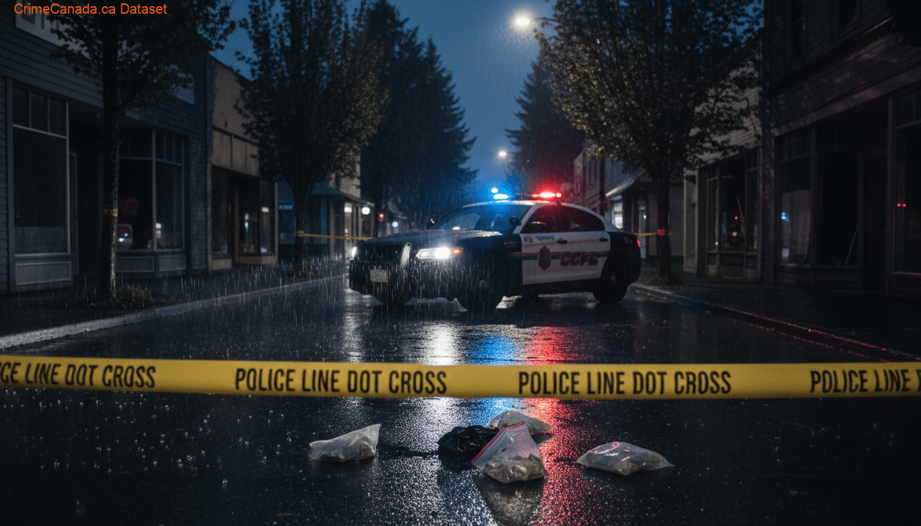
Sechelt (Part) Safety Score
Below Average
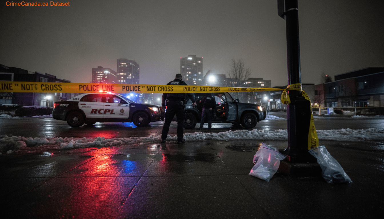
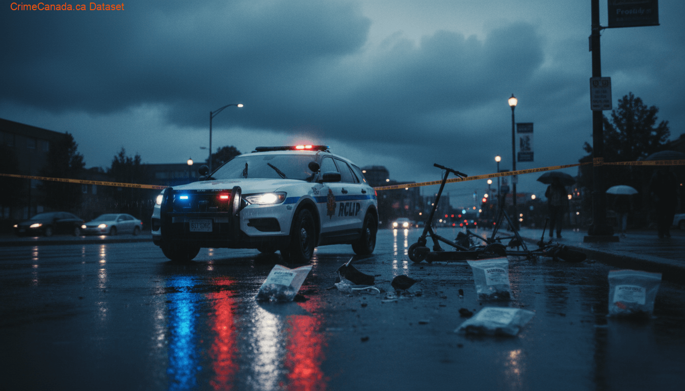
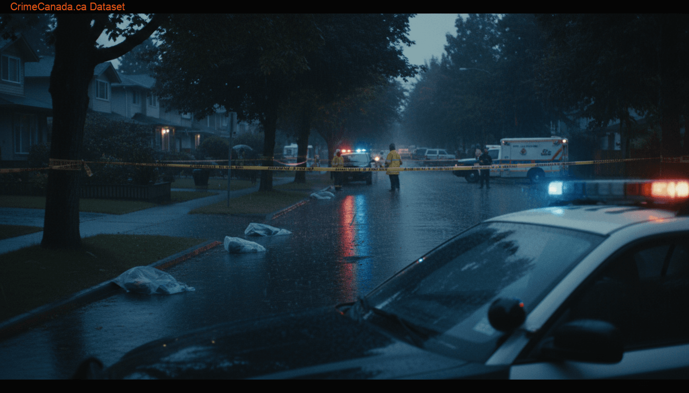
Police Reported Crime Data
Safety Scores & Indices

About Sechelt (Part)
Sechelt is a district municipality located on the lower Sunshine Coast of British Columbia. Approximately 50 kilometres (31 mi) northwest of Vancouver, it is accessible from mainland British Columbia by a 40-minute ferry trip between Horseshoe Bay and Langdale, and a 25-minute drive from Langdale along Highway 101, also known as the Sunshine Coast Highway. The name Sechelt is derived from the she shashishalhem word shíshálh, the name of the First Nations people who first settled the area thousands of years ago.
National Baseline = 100
Climate & Weather
Annual historical averages
Nearby Areas
15 locations
References & Sources
Crime data sourced from the Uniform Crime Reporting (UCR) Survey via Statistics Canada. Last updated for the most recent available reference year.