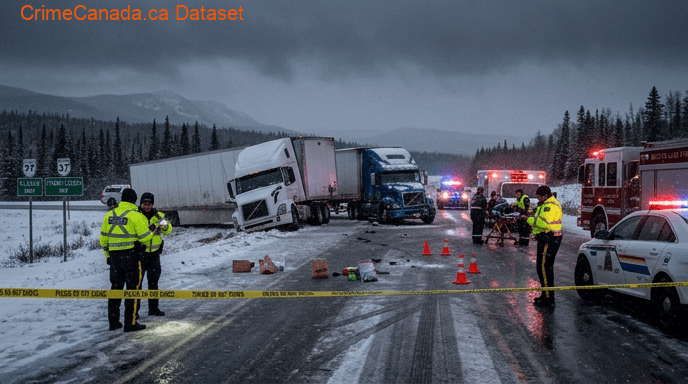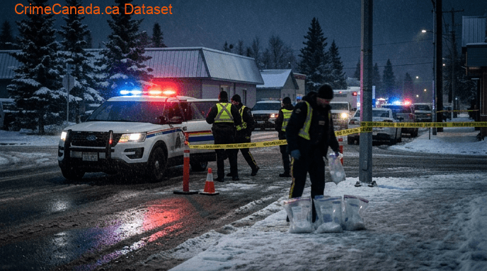
Stewart Crossing
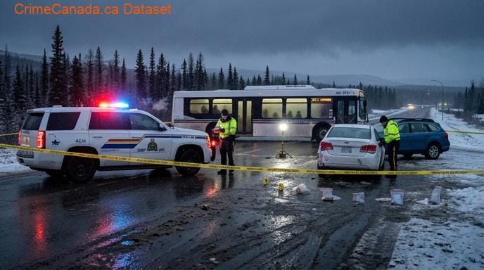
Crime data for Stewart Crossing, Yukon.
Stewart Crossing Safety Score
Below Average
Police Reported Crime Data
Safety Scores & Indices

Stewart Crossing
Yukon, Canada
About Stewart Crossing
Stewart Crossing is a settlement in Yukon, Canada located on the Stewart River. It is about 179 km east of Dawson City on the Klondike Highway, near the junction with the Silver Trail, from which it is about 53 km (33 mi) southwest of Mayo. A Yukon government highway maintenance camp and a highway lodge are the most prominent facilities at Stewart Crossing. The settlement is named for where the Klondike Highway, crossed the Stewart River by means of a ferry from 1950 until completion of a bridge in the mid-1950s.
National Baseline = 100
Climate & Weather
Annual historical averages
Nearby Areas
11 locations
References & Sources
Crime data sourced from the Uniform Crime Reporting (UCR) Survey via Statistics Canada. Last updated for the most recent available reference year.