

🏘️
Socioeconomic Profile
Census 20210.0%
Unemployment
👥 Population
32.4
Median Age
💼 Labour
38.9%
Employment Rate
0.0%
Unemployment Rate
Source: Statistics Canada, Census of Population, 2021

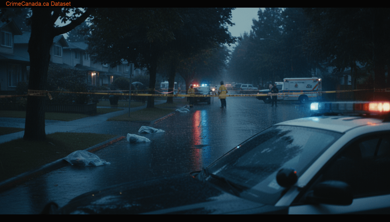
Crime data for Esquimalt, British Columbia.
Below Average
The Township of Esquimalt is a municipality at the southern tip of Vancouver Island, in British Columbia, Canada. It is bordered to the east by the provincial capital, Victoria, to the south by the Strait of Juan de Fuca, to the west by Esquimalt Harbour and Royal Roads, to the northwest by the New Songhees 1A Indian reserve and the town of View Royal, and to the north by a narrow inlet of water called the Gorge, across which is the district municipality of Saanich. It is almost tangential to Esquimalt 1 Indian Reserve near Admirals Road. It is one of the 13 municipalities of Greater Victoria and part of the Capital Regional District.
National Baseline = 100
Annual historical averages
15 locations
Crime data sourced from the Uniform Crime Reporting (UCR) Survey via Statistics Canada. Last updated for the most recent available reference year.
Safety Score and CSI data are not available for this police service jurisdiction. Please refer to the crime breakdown below.
Hate crime data shown for British Columbia (provincial level)
Police-reported hate crime incidents in British Columbia
Hate Crime Trend (2014–2024)
Click on chart to view sub-categories for that year
By Motivation
In 2024, British Columbia recorded 692 police-reported hate crimes, an increase of 2.7% from 2023. The most common motivation was Race or ethnicity (388 incidents, 56% of total), with Black being the most targeted group (143 incidents). Religion-motivated crimes totalled 125 (18%), led by Jewish (86).
Source: Statistics Canada, Table 35-10-0066-01 — Police-reported hate crime
Homicide data shown for Canada (national level)
Homicide victims in Canada
(1.91 per 100k)Homicide Trend (1961–2024)
Click on chart to view methods breakdown for that year
By Method
In 2024, Canada recorded 788 homicide victims, a decrease of 1.0% from 2023. The most common method was Shooting (286 victims, 36.3% of total), followed by Stabbing (250 victims, 31.7%). The homicide rate was 1.91 per 100,000 population.
Source: Statistics Canada, Homicide Survey — Tables 35-10-0068-01, 35-10-0069-01, 35-10-0071-01
Impaired driving incidents in Esquimalt
(46.6 per 100k)Impaired Driving Trend (2020–2024)
Click on chart to view breakdown for that year
By Type
1
Total Charged
1
Adults Charged
0
Youth Charged
In 2024, Esquimalt recorded 9 impaired driving incidents, a decrease of 50.0% from 2023. The most common offence type was Impaired by alcohol (7 incidents, 100% of sub-types), followed by Causing death (0 incidents, 0%). The impaired driving rate was 46.6 per 100,000 population. A total of 1 persons were charged, including 1 adults and 0 youth.
Source: Statistics Canada, Table 35-10-0177-01 — Incident-based crime statistics
0.0%
Unemployment
32.4
Median Age
38.9%
Employment Rate
0.0%
Unemployment Rate
Source: Statistics Canada, Census of Population, 2021
92
Adults Charged
-8.0% YoY7
Youth Charged
+75.0% YoY7.1%
Youth Share
99
Total Charged
Adult rate: 550.5 per 100,000
2024
Adults: 92
Youth: 7
Dual-axis: each line has its own scale · Click to view year details
Adult Δ (2020–2024)
-27.0%
Youth Δ (2020–2024)
-36.4%
In 2024, Esquimalt recorded 92 adults charged and 7 youth charged across all Criminal Code violations. Youth accounted for 7.1% of all persons charged. Since 2020, youth charges have changed by -36.4%, while adult charges changed by -27.0%.
Source: Statistics Canada, Table 35-10-0177-01 — Incident-based crime statistics
Incidents
5
▼ 0.0% vs 2023
Rate per 100K
25.9
Breakdown
Incidents
335
▼ 8.2% vs 2023
Rate per 100K
1735.6
Breakdown
Incidents
238
▼ 3.3% vs 2023
Rate per 100K
1233.0
Breakdown
Incidents
76
▲ 18.8% vs 2023
Rate per 100K
393.7
Breakdown
Content warning: This section contains data about sexual offences
Total Incidents
27
▲ 12.5% vs 2023
SA L1 Rate / 100K
108.8
Breakdown
Incidents
28
▼ 33.3% vs 2023
Rate per 100K
145.1
Breakdown
Total Incidents
9
▼ 50.0% vs 2023
Drug Rate / 100K
—
Breakdown